Liverpool Canal Link - ramp into Princes Dock
Introduction
The photograph on this page of Liverpool Canal Link - ramp into Princes Dock by John S Turner as part of the Geograph project.
The Geograph project started in 2005 with the aim of publishing, organising and preserving representative images for every square kilometre of Great Britain, Ireland and the Isle of Man.

There are currently over 7.5m images from over 14,400 individuals and you can help contribute to the project by visiting https://www.geograph.org.uk
Liverpool Canal Link - ramp into Princes Dock
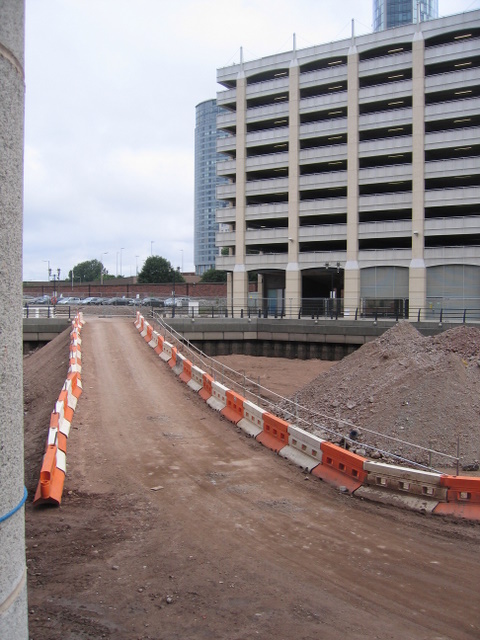
Image: © John S Turner Taken: 7 Jun 2008
As part of the canal link construction it was necessary to get some heavy machinery and vehicles down to the floor of the dock. This ramp was built down from William Jessop Way.
Images are licensed for reuse under creativecommons.org/licenses/by-sa/2.0
Image Location
Latitude
53.408841
Longitude
-2.998672