Beaumont Road - 2
Introduction
The photograph on this page of Beaumont Road - 2 by John Sutton as part of the Geograph project.
The Geograph project started in 2005 with the aim of publishing, organising and preserving representative images for every square kilometre of Great Britain, Ireland and the Isle of Man.

There are currently over 7.5m images from over 14,400 individuals and you can help contribute to the project by visiting https://www.geograph.org.uk
Beaumont Road - 2
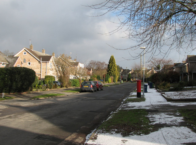
Image: © John Sutton Taken: 10 Feb 2010
A 1960s development on the south-eastern edge of Cambridge.
Images are licensed for reuse under creativecommons.org/licenses/by-sa/2.0
Image Location
Latitude
52.176609
Longitude
0.155414