Bridleway, Alhampton
Introduction
The photograph on this page of Bridleway, Alhampton by Maigheach-gheal as part of the Geograph project.
The Geograph project started in 2005 with the aim of publishing, organising and preserving representative images for every square kilometre of Great Britain, Ireland and the Isle of Man.

There are currently over 7.5m images from over 14,400 individuals and you can help contribute to the project by visiting https://www.geograph.org.uk
Bridleway, Alhampton
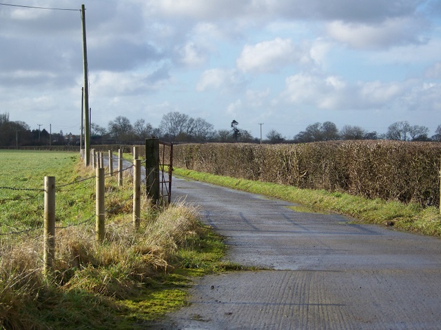
Image: © Maigheach-gheal Taken: 5 Feb 2010
The bridleway leaves Moor Lane to initially follows this concrete track as it heads towards Bolter's Bridge.
Images are licensed for reuse under creativecommons.org/licenses/by-sa/2.0
Image Location
Latitude
51.107733
Longitude
-2.541024