Willett Road
Introduction
The photograph on this page of Willett Road by Derek Harper as part of the Geograph project.
The Geograph project started in 2005 with the aim of publishing, organising and preserving representative images for every square kilometre of Great Britain, Ireland and the Isle of Man.

There are currently over 7.5m images from over 14,400 individuals and you can help contribute to the project by visiting https://www.geograph.org.uk
Willett Road
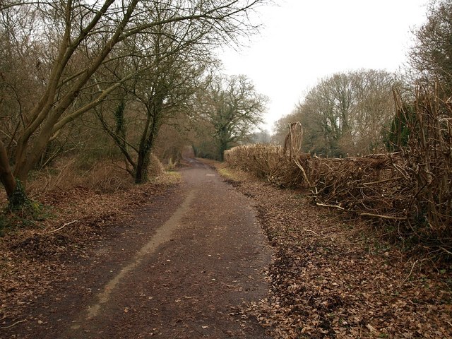
Image: © Derek Harper Taken: 27 Jan 2010
This is the old road from Oakley to Lamb's Green, now duplicated by the modern A31 off to the left. It can be followed as a bridleway beneath the A road, and is numbered BR114, although it isn't at this stage shown as a right of way on the maps.
Images are licensed for reuse under creativecommons.org/licenses/by-sa/2.0
Image Location
Latitude
50.787869
Longitude
-1.982925