The Field
Introduction
The photograph on this page of The Field by Cevn Vibert as part of the Geograph project.
The Geograph project started in 2005 with the aim of publishing, organising and preserving representative images for every square kilometre of Great Britain, Ireland and the Isle of Man.

There are currently over 7.5m images from over 14,400 individuals and you can help contribute to the project by visiting https://www.geograph.org.uk
The Field
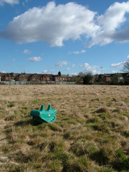
Image: © Cevn Vibert Taken: Unknown
View of a small part of The 8 Acre Sports Field behind St Marks School, Shirley Road, Freemantle, Southampton. See more pictures on www.CommunityHub.info and www.Festival.Vibert.co.uk. It's a HUGE Sports and Playing field, currently in 2010 locked-up to the public, and is not visible from the road.
Images are licensed for reuse under creativecommons.org/licenses/by-sa/2.0
Image Location
Latitude
50.916825
Longitude
-1.42069