Hoddomcross
Introduction
The photograph on this page of Hoddomcross by wfmillar as part of the Geograph project.
The Geograph project started in 2005 with the aim of publishing, organising and preserving representative images for every square kilometre of Great Britain, Ireland and the Isle of Man.

There are currently over 7.5m images from over 14,400 individuals and you can help contribute to the project by visiting https://www.geograph.org.uk
Hoddomcross
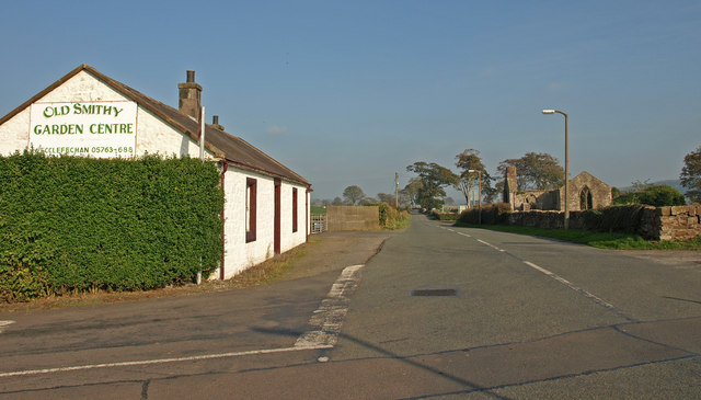
Image: © wfmillar Taken: 23 Oct 2007
The B725 passes the old smithy on the left and the derelict Hoddom Parish Church and burial ground on the right.
Images are licensed for reuse under creativecommons.org/licenses/by-sa/2.0
Image Location
Latitude
55.049257
Longitude
-3.288431