Buckley Lane
Introduction
The photograph on this page of Buckley Lane by Peter Thwaite as part of the Geograph project.
The Geograph project started in 2005 with the aim of publishing, organising and preserving representative images for every square kilometre of Great Britain, Ireland and the Isle of Man.

There are currently over 7.5m images from over 14,400 individuals and you can help contribute to the project by visiting https://www.geograph.org.uk
Buckley Lane
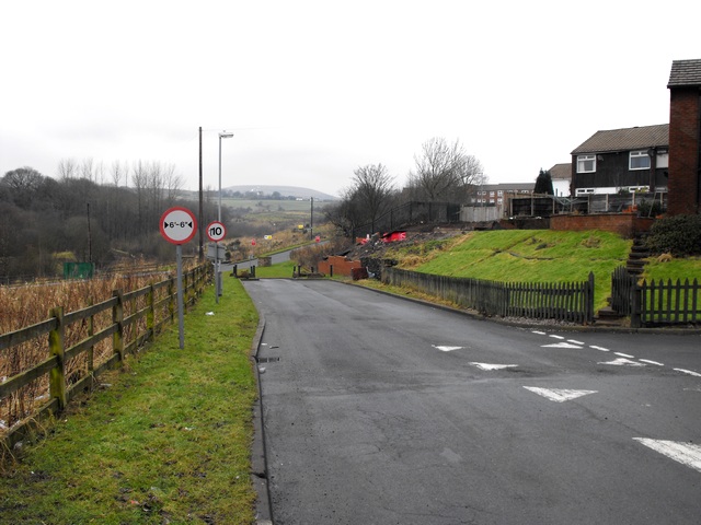
Image: © Peter Thwaite Taken: 5 Feb 2010
Looking north up Buckley Lane from its junction with Buckley View. Further north, some roads may have been realigned with Rydings Road replacing the upper part of Buckley Lane for road traffic and that part of Buckley Lane now being a footpath: Buckley Lane (footpath part) http://www.geograph.org.uk/photo/1699873 Note: Buckley Lane is not to be confused with the nearby Buckley Farm Lane http://www.geograph.org.uk/photo/1840015
Images are licensed for reuse under creativecommons.org/licenses/by-sa/2.0
Image Location
Latitude
53.633691
Longitude
-2.140604