The upper Dikler valley
Introduction
The photograph on this page of The upper Dikler valley by Jonathan Billinger as part of the Geograph project.
The Geograph project started in 2005 with the aim of publishing, organising and preserving representative images for every square kilometre of Great Britain, Ireland and the Isle of Man.

There are currently over 7.5m images from over 14,400 individuals and you can help contribute to the project by visiting https://www.geograph.org.uk
The upper Dikler valley
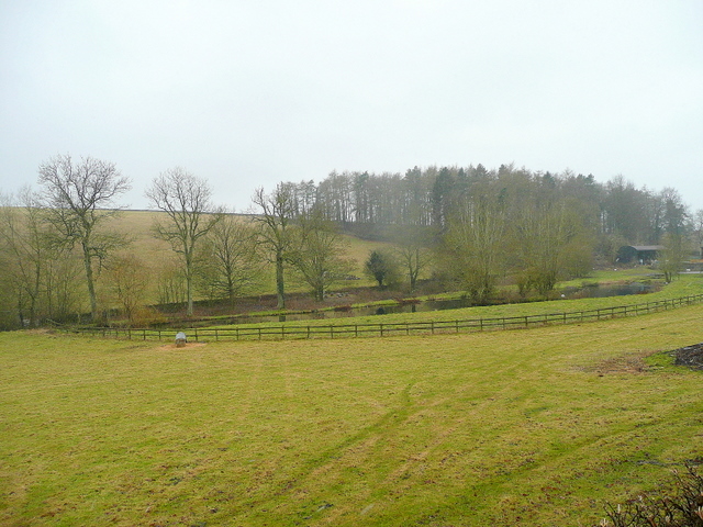
Image: © Jonathan Billinger Taken: 8 Feb 2010
Overlooking the ponds of a Trout Farm from the lane to Donnington.
Images are licensed for reuse under creativecommons.org/licenses/by-sa/2.0
Image Location
Latitude
51.949348
Longitude
-1.759011