Amesbury Circus
Introduction
The photograph on this page of Amesbury Circus by David Lally as part of the Geograph project.
The Geograph project started in 2005 with the aim of publishing, organising and preserving representative images for every square kilometre of Great Britain, Ireland and the Isle of Man.

There are currently over 7.5m images from over 14,400 individuals and you can help contribute to the project by visiting https://www.geograph.org.uk
Amesbury Circus
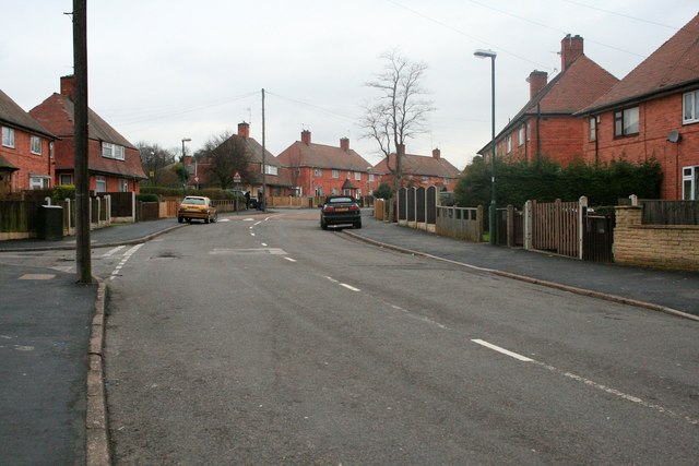
Image: © David Lally Taken: 8 Feb 2010
Like most of the council estates to the west and north of Nottingham the Cinderhill estate has at its heart a circular road often there is a school in the centre. Amesbury Circus is perhaps the largest, with a diameter of about 300 metres.
Images are licensed for reuse under creativecommons.org/licenses/by-sa/2.0
Image Location
Latitude
52.983007
Longitude
-1.20792