Kings Head, Chetwynd End
Introduction
The photograph on this page of Kings Head, Chetwynd End by P L Chadwick as part of the Geograph project.
The Geograph project started in 2005 with the aim of publishing, organising and preserving representative images for every square kilometre of Great Britain, Ireland and the Isle of Man.

There are currently over 7.5m images from over 14,400 individuals and you can help contribute to the project by visiting https://www.geograph.org.uk
Kings Head, Chetwynd End
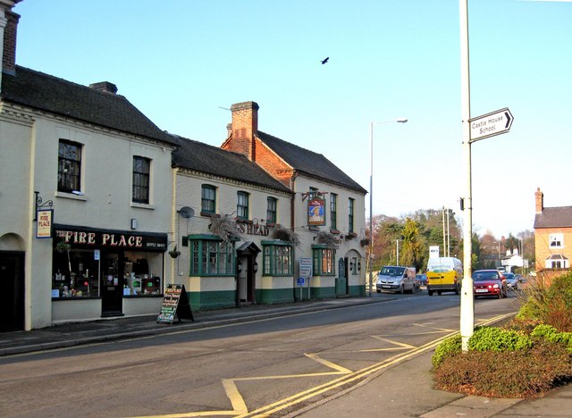
Image: © P L Chadwick Taken: 6 Feb 2010
Another of Newport's many pubs. Next door is the appropriately named Fire Place. The pub's sign:- Image
Images are licensed for reuse under creativecommons.org/licenses/by-sa/2.0
Image Location
Latitude
52.773196
Longitude
-2.381498