The Lamb Inn
Introduction
The photograph on this page of The Lamb Inn by Simon Carey as part of the Geograph project.
The Geograph project started in 2005 with the aim of publishing, organising and preserving representative images for every square kilometre of Great Britain, Ireland and the Isle of Man.

There are currently over 7.5m images from over 14,400 individuals and you can help contribute to the project by visiting https://www.geograph.org.uk
The Lamb Inn
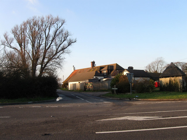
Image: © Simon Carey Taken: 6 Feb 2010
Located on the edge of Pevensey Levels just as the ground rises towards Hooe. The inn has been in existence at least since the 15th century and was popular with the shepherds who worked out on the marshes, the inn still has a 24 hour license during the lambing season. It was also connected with the smuggling gangs of the 18th and 19th century as it was situated at the junction of a number of routes that lead onto the marshes.
Images are licensed for reuse under creativecommons.org/licenses/by-sa/2.0
Image Location
Latitude
50.84824
Longitude
0.379156