Rowse Honey
Introduction
The photograph on this page of Rowse Honey by Des Blenkinsopp as part of the Geograph project.
The Geograph project started in 2005 with the aim of publishing, organising and preserving representative images for every square kilometre of Great Britain, Ireland and the Isle of Man.

There are currently over 7.5m images from over 14,400 individuals and you can help contribute to the project by visiting https://www.geograph.org.uk
Rowse Honey
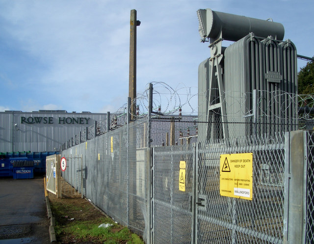
Image: © Des Blenkinsopp Taken: 4 Feb 2010
Just a bit of industrial estate stuff on a sunny day. Wallingford isn't all Castle, River and Town Hall although that's obviously where most of the photographers go. This is "the other side of the tracks" or would be if they hadn't taken them up.
Images are licensed for reuse under creativecommons.org/licenses/by-sa/2.0
Image Location
Latitude
51.600544
Longitude
-1.13771