Junction on Earlswood Rd
Introduction
The photograph on this page of Junction on Earlswood Rd by John Lord as part of the Geograph project.
The Geograph project started in 2005 with the aim of publishing, organising and preserving representative images for every square kilometre of Great Britain, Ireland and the Isle of Man.

There are currently over 7.5m images from over 14,400 individuals and you can help contribute to the project by visiting https://www.geograph.org.uk
Junction on Earlswood Rd
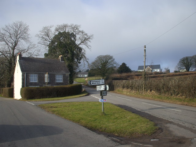
Image: © John Lord Taken: 6 Feb 2010
The place name "West End", appearing on the sign, does not appear on the current 1:50000 map, though it does on earlier editions.
Images are licensed for reuse under creativecommons.org/licenses/by-sa/2.0
Image Location
Latitude
51.647897
Longitude
-2.776083