Harrison Close
Introduction
The photograph on this page of Harrison Close by Ian Capper as part of the Geograph project.
The Geograph project started in 2005 with the aim of publishing, organising and preserving representative images for every square kilometre of Great Britain, Ireland and the Isle of Man.

There are currently over 7.5m images from over 14,400 individuals and you can help contribute to the project by visiting https://www.geograph.org.uk
Harrison Close
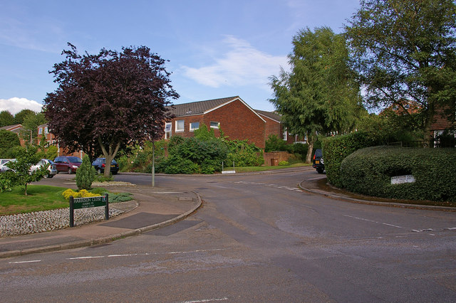
Image: © Ian Capper Taken: 25 Jul 2009
Part of the 1960s or 70s Woodlands Estate (see Image). All the roads are named after vicars of St Mary's Church: in this photo are Harrison Close (named after John Harrison, vicar from 1847 to 1901) with Talbot Close off to the right (named after Richard Talbot, vicar from 1929 to 1947) and part of Lymden Gardens in the foreground (named after John Lymden, vicar from 1532 to 1536 and the last Prior of Reigate prior to the dissolution of Reigate Priory in the Reformation). The other roads on the estate are Sheldon Close (named after Frederick Sheldon, vicar from 1947 to 1957) and Cranston Close (named after Andrew Cranston, vicar from 1697 and 1708 and founder of the Cranston Library, the first public lending library in Britain - see Image).
Images are licensed for reuse under creativecommons.org/licenses/by-sa/2.0
Image Location
Latitude
51.231258
Longitude
-0.199887