Greenfield Avenue, Banwell
Introduction
The photograph on this page of Greenfield Avenue, Banwell by Nigel Mykura as part of the Geograph project.
The Geograph project started in 2005 with the aim of publishing, organising and preserving representative images for every square kilometre of Great Britain, Ireland and the Isle of Man.

There are currently over 7.5m images from over 14,400 individuals and you can help contribute to the project by visiting https://www.geograph.org.uk
Greenfield Avenue, Banwell
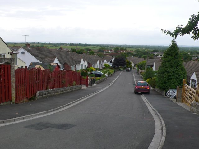
Image: © Nigel Mykura Taken: 18 Jun 2009
This road runs north off High St down the steep hillside on which the village is built.It is on the very eastern edge of the grid square.
Images are licensed for reuse under creativecommons.org/licenses/by-sa/2.0
Image Location
Latitude
51.327895
Longitude
-2.876445