Low lying fields by the River Gipping
Introduction
The photograph on this page of Low lying fields by the River Gipping by Andrew Hill as part of the Geograph project.
The Geograph project started in 2005 with the aim of publishing, organising and preserving representative images for every square kilometre of Great Britain, Ireland and the Isle of Man.

There are currently over 7.5m images from over 14,400 individuals and you can help contribute to the project by visiting https://www.geograph.org.uk
Low lying fields by the River Gipping
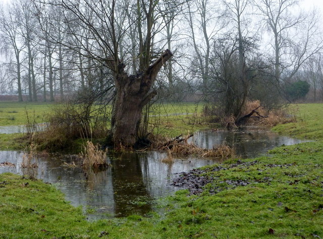
Image: © Andrew Hill Taken: 5 Feb 2010
The fields are often flooded in the winter, and there a several small lakes in the vicinity. Seen from the Gipping footpath.
Images are licensed for reuse under creativecommons.org/licenses/by-sa/2.0
Image Location
Latitude
52.147012
Longitude
1.072567