Bethnal Green: Virginia Road, looking west
Introduction
The photograph on this page of Bethnal Green: Virginia Road, looking west by Dr Neil Clifton as part of the Geograph project.
The Geograph project started in 2005 with the aim of publishing, organising and preserving representative images for every square kilometre of Great Britain, Ireland and the Isle of Man.

There are currently over 7.5m images from over 14,400 individuals and you can help contribute to the project by visiting https://www.geograph.org.uk
Bethnal Green: Virginia Road, looking west
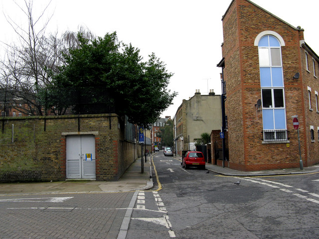
Image: © Dr Neil Clifton Taken: 3 Feb 2010
Taken from the north end of Hocker Street. This part of Virginia Road was originally Castle Street, later Old Castle Street. At the far (west) end, it makes a junction with Boundary Street, at the back of St. Leonard's Church - the Shoreditch boundary has been reached at this point.
Images are licensed for reuse under creativecommons.org/licenses/by-sa/2.0
Image Location
Latitude
51.526517
Longitude
-0.075532