Shoreditch: The 'White Horse'
Introduction
The photograph on this page of Shoreditch: The 'White Horse' by Dr Neil Clifton as part of the Geograph project.
The Geograph project started in 2005 with the aim of publishing, organising and preserving representative images for every square kilometre of Great Britain, Ireland and the Isle of Man.

There are currently over 7.5m images from over 14,400 individuals and you can help contribute to the project by visiting https://www.geograph.org.uk
Shoreditch: The 'White Horse'
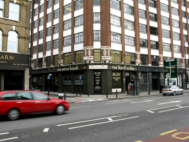
Image: © Dr Neil Clifton Taken: 3 Feb 2010
On the east side of Shoreditch High Street. The narrow street emerging onto Shoreditch High Street here, now a one-way street, is Redchurch Street, (formerly named Church Street), which was until 1879 the outlet from Bethnal Green Road
Images are licensed for reuse under creativecommons.org/licenses/by-sa/2.0
Image Location
Latitude
51.523844
Longitude
-0.077086