Paddock Close Lytchett Matravers
Introduction
The photograph on this page of Paddock Close Lytchett Matravers by Nigel Mykura as part of the Geograph project.
The Geograph project started in 2005 with the aim of publishing, organising and preserving representative images for every square kilometre of Great Britain, Ireland and the Isle of Man.

There are currently over 7.5m images from over 14,400 individuals and you can help contribute to the project by visiting https://www.geograph.org.uk
Paddock Close Lytchett Matravers
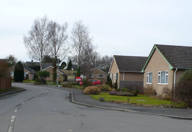
Image: © Nigel Mykura Taken: 31 Jan 2010
Paddock Close is a small residential cul-de-sac, consisting mainly of bungalows, off the Wimborne Rd on the east side of the village just south of the junction with Lime Kiln Road.
Images are licensed for reuse under creativecommons.org/licenses/by-sa/2.0
Image Location
Latitude
50.760058
Longitude
-2.076508