Brick wall by the Gerber factory
Introduction
The photograph on this page of Brick wall by the Gerber factory by Derek Harper as part of the Geograph project.
The Geograph project started in 2005 with the aim of publishing, organising and preserving representative images for every square kilometre of Great Britain, Ireland and the Isle of Man.

There are currently over 7.5m images from over 14,400 individuals and you can help contribute to the project by visiting https://www.geograph.org.uk
Brick wall by the Gerber factory
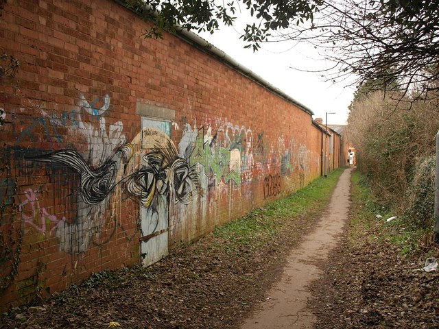
Image: © Derek Harper Taken: 26 Jan 2010
The footpath (number BW 38/11) runs between the Gerber Foods soft drinks factory (shown in Image) and Image, and connects Wembdon Road to Halesleigh Road.
Images are licensed for reuse under creativecommons.org/licenses/by-sa/2.0
Image Location
Latitude
51.127848
Longitude
-3.017414