Redgate Street, Bridgwater
Introduction
The photograph on this page of Redgate Street, Bridgwater by Derek Harper as part of the Geograph project.
The Geograph project started in 2005 with the aim of publishing, organising and preserving representative images for every square kilometre of Great Britain, Ireland and the Isle of Man.

There are currently over 7.5m images from over 14,400 individuals and you can help contribute to the project by visiting https://www.geograph.org.uk
Redgate Street, Bridgwater
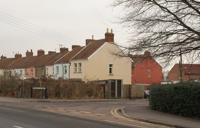
Image: © Derek Harper Taken: 26 Jan 2010
The street, whose junction with Westonzoyland Road is in the foreground, bends sharply to the left, which explains why these are the rears of houses on its south side.
Images are licensed for reuse under creativecommons.org/licenses/by-sa/2.0
Image Location


Leaflet Map data © OpenStreetMap
Latitude
51.126567
Longitude
-2.98852