Litchard Terrace approaching wooded area
Introduction
The photograph on this page of Litchard Terrace approaching wooded area by Jaggery as part of the Geograph project.
The Geograph project started in 2005 with the aim of publishing, organising and preserving representative images for every square kilometre of Great Britain, Ireland and the Isle of Man.

There are currently over 7.5m images from over 14,400 individuals and you can help contribute to the project by visiting https://www.geograph.org.uk
Litchard Terrace approaching wooded area
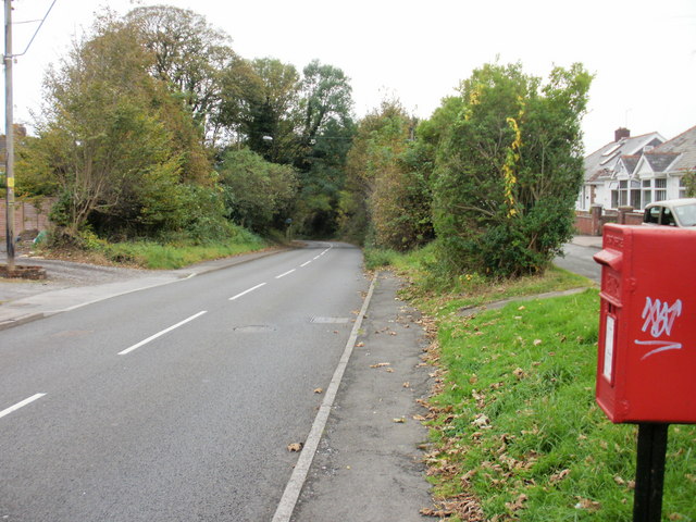
Image: © Jaggery Taken: 26 Oct 2009
As it draws near to Wild Mill, Litchard Terrace passes through a wooded area.
Images are licensed for reuse under creativecommons.org/licenses/by-sa/2.0
Image Location
Latitude
51.520869
Longitude
-3.579633