Litchard Bungalows, Bridgend
Introduction
The photograph on this page of Litchard Bungalows, Bridgend by Jaggery as part of the Geograph project.
The Geograph project started in 2005 with the aim of publishing, organising and preserving representative images for every square kilometre of Great Britain, Ireland and the Isle of Man.

There are currently over 7.5m images from over 14,400 individuals and you can help contribute to the project by visiting https://www.geograph.org.uk
Litchard Bungalows, Bridgend
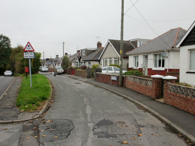
Image: © Jaggery Taken: 26 Oct 2009
Litchard Bungalows is a cul-de-sac running parallel with the north side of Litchard Terrace for about 100 metres. This view, from the Litchard Terrace end, shows that beyond the postbox, shrubs and trees screen the bungalows from Litchard Terrace.
Images are licensed for reuse under creativecommons.org/licenses/by-sa/2.0
Image Location
Latitude
51.520889
Longitude
-3.578192