Shropshire Union Canal towards Hack Green, Cheshire
Introduction
The photograph on this page of Shropshire Union Canal towards Hack Green, Cheshire by Roger D Kidd as part of the Geograph project.
The Geograph project started in 2005 with the aim of publishing, organising and preserving representative images for every square kilometre of Great Britain, Ireland and the Isle of Man.

There are currently over 7.5m images from over 14,400 individuals and you can help contribute to the project by visiting https://www.geograph.org.uk
Shropshire Union Canal towards Hack Green, Cheshire
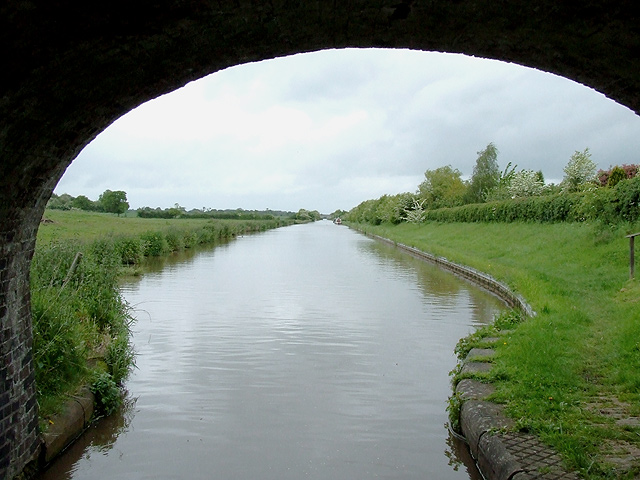
Image: © Roger D Kidd Taken: 22 May 2009
The Shropshire Union Canal (formerly the Birmingham and Liverpool Junction Canal) looking towards Hack Green from beneath Austins Bridge, is very straight here. Straightness is a characteristic of the Shropshire Union Canal, which was built in the 1830s, when competition was growing from the railways, and routes had to be as short as possible. Thomas Telford managed this by building long embankments and digging long cuttings, a ploy which also reduced the need for so many locks which would delay the boats. It also meant a lot more work, and trouble with unstable embankments in some places, which still cause problems to this day.
Images are licensed for reuse under creativecommons.org/licenses/by-sa/2.0
Image Location
Latitude
53.015625
Longitude
-2.526433