High House Brewery visitor centre
Introduction
The photograph on this page of High House Brewery visitor centre by David Clark as part of the Geograph project.
The Geograph project started in 2005 with the aim of publishing, organising and preserving representative images for every square kilometre of Great Britain, Ireland and the Isle of Man.

There are currently over 7.5m images from over 14,400 individuals and you can help contribute to the project by visiting https://www.geograph.org.uk
High House Brewery visitor centre
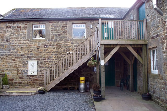
Image: © David Clark Taken: 1 Feb 2010
The entrance into what would have been a granary, now housing a visitor centre, bar and dining areas.
Images are licensed for reuse under creativecommons.org/licenses/by-sa/2.0
Image Location
Latitude
55.022534
Longitude
-1.921921