Philbeach Gardens
Introduction
The photograph on this page of Philbeach Gardens by Martin Addison as part of the Geograph project.
The Geograph project started in 2005 with the aim of publishing, organising and preserving representative images for every square kilometre of Great Britain, Ireland and the Isle of Man.

There are currently over 7.5m images from over 14,400 individuals and you can help contribute to the project by visiting https://www.geograph.org.uk
Philbeach Gardens
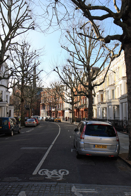
Image: © Martin Addison Taken: 1 Feb 2010
The northern end of this crescent, the houses on which were built in 1876, seen from Warwick Road. The parish church of St. Cuthbert with St. Matthias can be seen around the corner.
Images are licensed for reuse under creativecommons.org/licenses/by-sa/2.0
Image Location
Latitude
51.491975
Longitude
-0.199432