NER Cottage Homes
Introduction
The photograph on this page of NER Cottage Homes by David Rogers as part of the Geograph project.
The Geograph project started in 2005 with the aim of publishing, organising and preserving representative images for every square kilometre of Great Britain, Ireland and the Isle of Man.

There are currently over 7.5m images from over 14,400 individuals and you can help contribute to the project by visiting https://www.geograph.org.uk
NER Cottage Homes
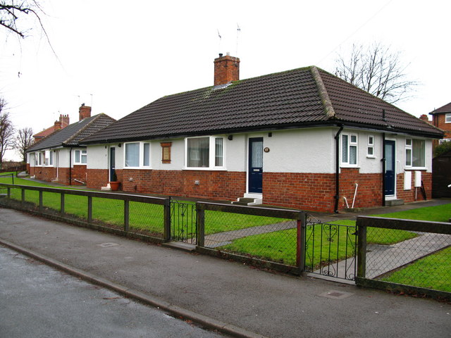
Image: © David Rogers Taken: 2 Feb 2010
Dating from 1927 along Woodlea Avenue, Acomb.
Images are licensed for reuse under creativecommons.org/licenses/by-sa/2.0
Image Location
Latitude
53.958213
Longitude
-1.126706