Sheep Walk - top of the hill
Introduction
The photograph on this page of Sheep Walk - top of the hill by Stephen Craven as part of the Geograph project.
The Geograph project started in 2005 with the aim of publishing, organising and preserving representative images for every square kilometre of Great Britain, Ireland and the Isle of Man.

There are currently over 7.5m images from over 14,400 individuals and you can help contribute to the project by visiting https://www.geograph.org.uk
Sheep Walk - top of the hill
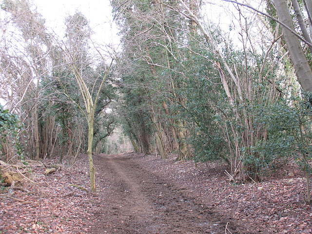
Image: © Stephen Craven Taken: 31 Jan 2010
The name of this track would seem to derive from previous use as a droving road. Now it is a bridleway, well used by horse riders, mountain bikers and ramblers. This is the point at which it starts to drop towards Walton Downs.
Images are licensed for reuse under creativecommons.org/licenses/by-sa/2.0
Image Location
Latitude
51.294739
Longitude
-0.269122