Whistle Way, Narborough
Introduction
The photograph on this page of Whistle Way, Narborough by Kate Jewell as part of the Geograph project.
The Geograph project started in 2005 with the aim of publishing, organising and preserving representative images for every square kilometre of Great Britain, Ireland and the Isle of Man.

There are currently over 7.5m images from over 14,400 individuals and you can help contribute to the project by visiting https://www.geograph.org.uk
Whistle Way, Narborough
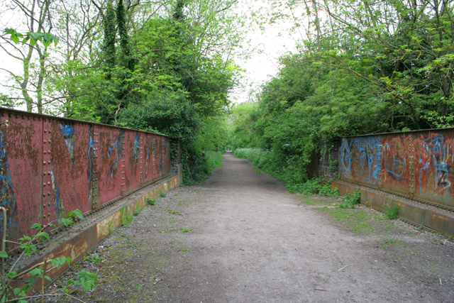
Image: © Kate Jewell Taken: 12 May 2006
This walkway along a disused mineral railway line from Coventry Road, Narborough to Granite Close, Enderby gives good views to the River Soar. View point on the bridge in Image
Images are licensed for reuse under creativecommons.org/licenses/by-sa/2.0
Image Location
Latitude
52.578963
Longitude
-1.221359