Chesterfield Road
Introduction
The photograph on this page of Chesterfield Road by Alan Murray-Rust as part of the Geograph project.
The Geograph project started in 2005 with the aim of publishing, organising and preserving representative images for every square kilometre of Great Britain, Ireland and the Isle of Man.

There are currently over 7.5m images from over 14,400 individuals and you can help contribute to the project by visiting https://www.geograph.org.uk
Chesterfield Road
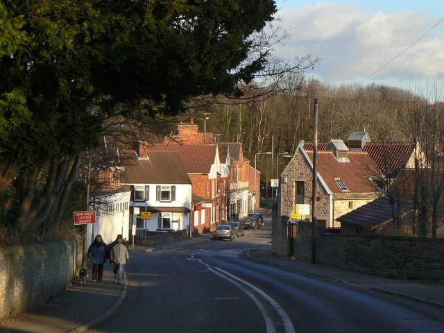
Image: © Alan Murray-Rust Taken: 31 Jan 2010
The old main road through Pleasley, looking down into what is now the centre of the village. Strictly speaking the parish of Pleasley stops at the River Meden which passes under the road just in front of the prominent white house. The far side of the river is the Nottinghamshire parish of Pleasleyhill, which formed the larger part of the community by the end of the 19th century.
Images are licensed for reuse under creativecommons.org/licenses/by-sa/2.0
Image Location
Latitude
53.172702
Longitude
-1.245813