Terrace Lane
Introduction
The photograph on this page of Terrace Lane by Alan Murray-Rust as part of the Geograph project.
The Geograph project started in 2005 with the aim of publishing, organising and preserving representative images for every square kilometre of Great Britain, Ireland and the Isle of Man.

There are currently over 7.5m images from over 14,400 individuals and you can help contribute to the project by visiting https://www.geograph.org.uk
Terrace Lane
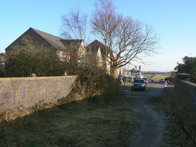
Image: © Alan Murray-Rust Taken: 31 Jan 2010
Modern housing has replaced much of the older stock provided as miners' housing. The lane narrows to a footpath to cross the bridge over the former railway line to give access to Pleasley Country Park.
Images are licensed for reuse under creativecommons.org/licenses/by-sa/2.0
Image Location
Latitude
53.171686
Longitude
-1.255854