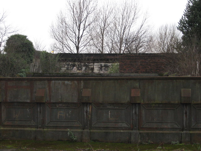
Glasgow Green Station
Introduction
The photograph on this page of Glasgow Green Station by Carol Walker as part of the Geograph project.
The Geograph project started in 2005 with the aim of publishing, organising and preserving representative images for every square kilometre of Great Britain, Ireland and the Isle of Man.
There are currently over 7.5m images from over 14,400 individuals and you can help contribute to the project by visiting https://www.geograph.org.uk

Image: © Carol Walker Taken: 25 Jan 2010
This station finally closed in 1953. The two platforms are gone and all that remains of the building is the southern and western walls, the windows and doors of which have been bricked up. You can see this view from a small back lane which runs to the rear of the station. I don't really know the significance, if any, of the dates(?) on the wall. Although the station never reopened, the actual line was re-established in the mid 1960's for trains from Maryhill to Rutherglen and beyond.

