Thatchers Cottage
Introduction
The photograph on this page of Thatchers Cottage by Dave Dunford as part of the Geograph project.
The Geograph project started in 2005 with the aim of publishing, organising and preserving representative images for every square kilometre of Great Britain, Ireland and the Isle of Man.

There are currently over 7.5m images from over 14,400 individuals and you can help contribute to the project by visiting https://www.geograph.org.uk
Thatchers Cottage
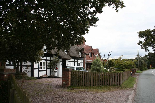
Image: © Dave Dunford Taken: 16 Sep 2009
Grade-II listed cottage on the A41 near Walgherton. See http://www.imagesofengland.org.uk/details/default.aspx?id=57124
Images are licensed for reuse under creativecommons.org/licenses/by-sa/2.0
Image Location


Leaflet Map data © OpenStreetMap
Latitude
53.038303
Longitude
-2.454974