Clifton Road, Ruddington
Introduction
The photograph on this page of Clifton Road, Ruddington by David Lally as part of the Geograph project.
The Geograph project started in 2005 with the aim of publishing, organising and preserving representative images for every square kilometre of Great Britain, Ireland and the Isle of Man.

There are currently over 7.5m images from over 14,400 individuals and you can help contribute to the project by visiting https://www.geograph.org.uk
Clifton Road, Ruddington
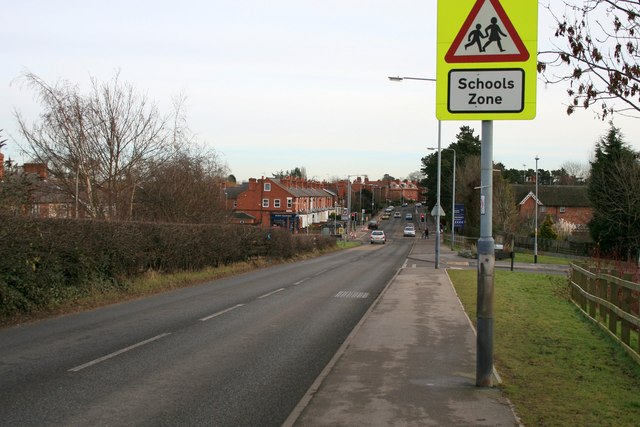
Image: © David Lally Taken: 1 Feb 2010
Looking east toward the village. The road is rising here, not due to a natural hill, but up an embankment which takes the road over a now disused railway line
Images are licensed for reuse under creativecommons.org/licenses/by-sa/2.0
Image Location
Latitude
52.895348
Longitude
-1.156674