Colziumbea Plantation
Introduction
The photograph on this page of Colziumbea Plantation by Robert Murray as part of the Geograph project.
The Geograph project started in 2005 with the aim of publishing, organising and preserving representative images for every square kilometre of Great Britain, Ireland and the Isle of Man.

There are currently over 7.5m images from over 14,400 individuals and you can help contribute to the project by visiting https://www.geograph.org.uk
Colziumbea Plantation
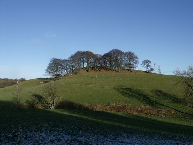
Image: © Robert Murray Taken: 30 Jan 2010
This little hill (summit,75m) was called 'Collanbe' by Timothy Pont on his map of the area c.1590. See www.canmore.rcahms.gov.uk/en/site/45887/details/colziumbea/ for RCHAMS record.
Images are licensed for reuse under creativecommons.org/licenses/by-sa/2.0
Image Location
Latitude
55.975944
Longitude
-4.022136