St Faith's Footbridge
Introduction
The photograph on this page of St Faith's Footbridge by Glyn Baker as part of the Geograph project.
The Geograph project started in 2005 with the aim of publishing, organising and preserving representative images for every square kilometre of Great Britain, Ireland and the Isle of Man.

There are currently over 7.5m images from over 14,400 individuals and you can help contribute to the project by visiting https://www.geograph.org.uk
St Faith's Footbridge
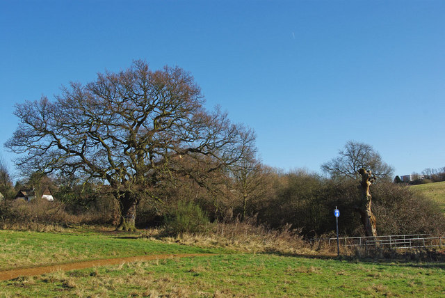
Image: © Glyn Baker Taken: 30 Jan 2010
A footbridge over a stream in St Faiths Country Park this has been managed by Brentwood Council since 1999 see http://www.brentwood.gov.uk/index.php?cid=617 for more info.
Images are licensed for reuse under creativecommons.org/licenses/by-sa/2.0
Image Location
Latitude
51.621933
Longitude
0.289822