A40 looking east
Introduction
The photograph on this page of A40 looking east by Jonathan Billinger as part of the Geograph project.
The Geograph project started in 2005 with the aim of publishing, organising and preserving representative images for every square kilometre of Great Britain, Ireland and the Isle of Man.

There are currently over 7.5m images from over 14,400 individuals and you can help contribute to the project by visiting https://www.geograph.org.uk
A40 looking east
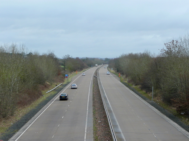
Image: © Jonathan Billinger Taken: 28 Jan 2010
This dual carriageway is one of the less-used trunk roads in the UK.
Images are licensed for reuse under creativecommons.org/licenses/by-sa/2.0
Image Location
Latitude
51.780199
Longitude
-2.908522