Park House
Introduction
The photograph on this page of Park House by Andy Waddington as part of the Geograph project.
The Geograph project started in 2005 with the aim of publishing, organising and preserving representative images for every square kilometre of Great Britain, Ireland and the Isle of Man.

There are currently over 7.5m images from over 14,400 individuals and you can help contribute to the project by visiting https://www.geograph.org.uk
Park House
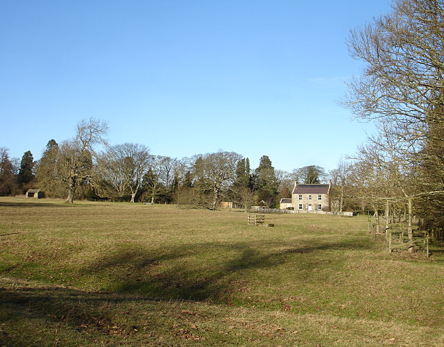
Image: © Andy Waddington Taken: 31 Jan 2010
On the opposite side of the road from Lartington Hall Park, Park House is seen across a field from the entrance to Park Farm. As the map indicates, this is all part of the parkland, with many victorian exotic tree plantings, mostly the distinctive Sequoiadendron giganteum alongside the road and visible within the village. Perhaps the best specimen is this Image
Images are licensed for reuse under creativecommons.org/licenses/by-sa/2.0
Image Location
Latitude
54.55445
Longitude
-1.970436