Casthorpe
Introduction
The photograph on this page of Casthorpe by Kate Jewell as part of the Geograph project.
The Geograph project started in 2005 with the aim of publishing, organising and preserving representative images for every square kilometre of Great Britain, Ireland and the Isle of Man.

There are currently over 7.5m images from over 14,400 individuals and you can help contribute to the project by visiting https://www.geograph.org.uk
Casthorpe
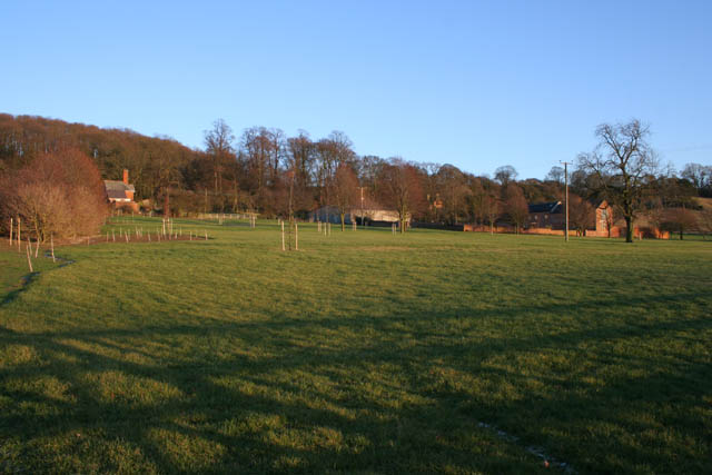
Image: © Kate Jewell Taken: 30 Jan 2010
Casthorpe is made up of a scattering of farms and a few houses at the foot of the Casthorpe Hills. Here, Casthorpe Lodge is in the centre with Lodge Cottage to the left. The newly converted barn to the right is called Casthorpe Grange.
Images are licensed for reuse under creativecommons.org/licenses/by-sa/2.0
Image Location


Leaflet Map data © OpenStreetMap
Latitude
52.911252
Longitude
-0.708477