Flytipping, Lovelands Lane
Introduction
The photograph on this page of Flytipping, Lovelands Lane by Alan Hunt as part of the Geograph project.
The Geograph project started in 2005 with the aim of publishing, organising and preserving representative images for every square kilometre of Great Britain, Ireland and the Isle of Man.

There are currently over 7.5m images from over 14,400 individuals and you can help contribute to the project by visiting https://www.geograph.org.uk
Flytipping, Lovelands Lane
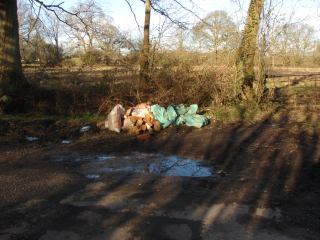
Image: © Alan Hunt Taken: 30 Jan 2010
Yet another example of Man's desecration of the environment. Doesn't it just make you glad to be alive!?
Images are licensed for reuse under creativecommons.org/licenses/by-sa/2.0
Image Location


Leaflet Map data © OpenStreetMap
Latitude
51.338144
Longitude
-0.618936