Tree covered Path
Introduction
The photograph on this page of Tree covered Path by Ashley Dace as part of the Geograph project.
The Geograph project started in 2005 with the aim of publishing, organising and preserving representative images for every square kilometre of Great Britain, Ireland and the Isle of Man.

There are currently over 7.5m images from over 14,400 individuals and you can help contribute to the project by visiting https://www.geograph.org.uk
Tree covered Path
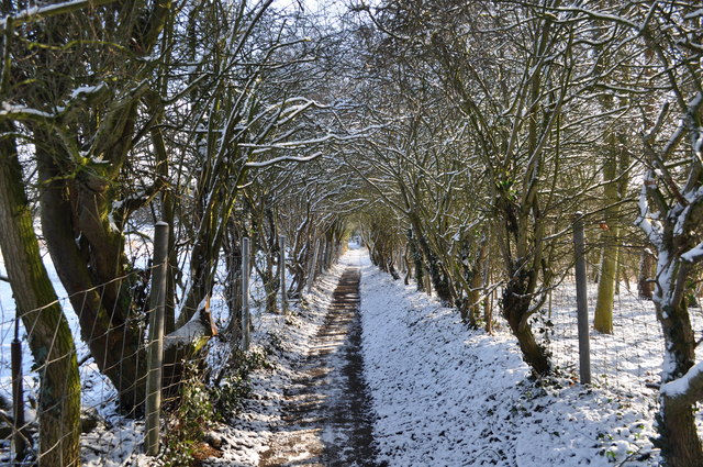
Image: © Ashley Dace Taken: 30 Jan 2010
I have known this path since a little boy, a good Poo sticks bridge is in the middle and it is the first place I saw a King Fisher. It links Loddon main street with Mill Lane.
Images are licensed for reuse under creativecommons.org/licenses/by-sa/2.0
Image Location
Latitude
52.535156
Longitude
1.485001