Oak House Farm
Introduction
The photograph on this page of Oak House Farm by Alan Hunt as part of the Geograph project.
The Geograph project started in 2005 with the aim of publishing, organising and preserving representative images for every square kilometre of Great Britain, Ireland and the Isle of Man.

There are currently over 7.5m images from over 14,400 individuals and you can help contribute to the project by visiting https://www.geograph.org.uk
Oak House Farm
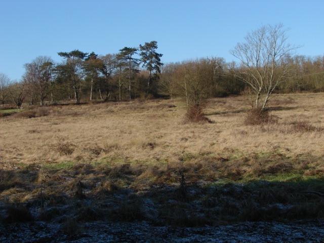
Image: © Alan Hunt Taken: 30 Jan 2010
Rough pasture to the north of Pennypot Lane, West End. Wintertime has a beauty of its own with the strident greens of Summer being replaced with a wonderful subtle palette of greys,ochres and browns. Unfortunately this particular bit of beauty has been designated for 400 houses by the County Council!
Images are licensed for reuse under creativecommons.org/licenses/by-sa/2.0
Image Location


Leaflet Map data © OpenStreetMap
Latitude
51.338262
Longitude
-0.628981