Far end of Libeneth Road, Newport
Introduction
The photograph on this page of Far end of Libeneth Road, Newport by Jaggery as part of the Geograph project.
The Geograph project started in 2005 with the aim of publishing, organising and preserving representative images for every square kilometre of Great Britain, Ireland and the Isle of Man.

There are currently over 7.5m images from over 14,400 individuals and you can help contribute to the project by visiting https://www.geograph.org.uk
Far end of Libeneth Road, Newport
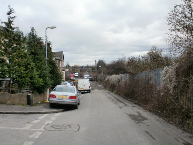
Image: © Jaggery Taken: 28 Jan 2010
Beyond the eastern junction with Lime Crescent, on the left, the far end of Libeneth Road is a small parking area, with a few business premises. Further on, there is a pathhttp://www.geograph.org.uk/photo/1684446 to Liswerry Pond http://www.geograph.org.uk/photo/1589763 . The fence on the right is the boundary of the South Wales main railway line.
Images are licensed for reuse under creativecommons.org/licenses/by-sa/2.0
Image Location
Latitude
51.583352
Longitude
-2.956836