The Portaferry Road roundabout, Newtownards
Introduction
The photograph on this page of The Portaferry Road roundabout, Newtownards by Albert Bridge as part of the Geograph project.
The Geograph project started in 2005 with the aim of publishing, organising and preserving representative images for every square kilometre of Great Britain, Ireland and the Isle of Man.

There are currently over 7.5m images from over 14,400 individuals and you can help contribute to the project by visiting https://www.geograph.org.uk
The Portaferry Road roundabout, Newtownards
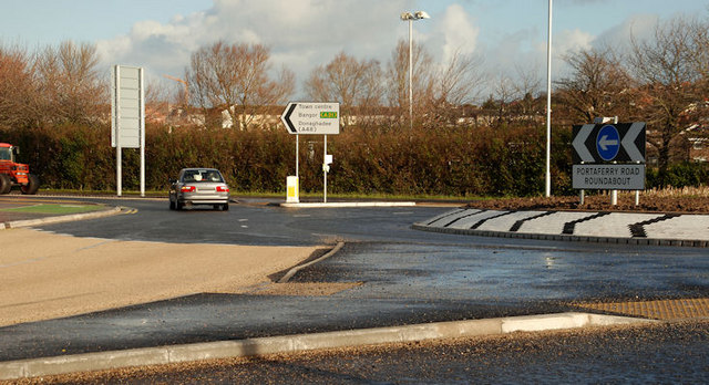
Image: © Albert Bridge Taken: 29 Jan 2010
The ground-level view of the Portaferry Road roundabout (town centre to the left) as seen at top left in Image (Shown as a “T” junction on the Google map).
Images are licensed for reuse under creativecommons.org/licenses/by-sa/2.0
Image Location
Latitude
54.588593
Longitude
-5.686372