Public footpath near Eggs Tump
Introduction
The photograph on this page of Public footpath near Eggs Tump by Trevor Rickard as part of the Geograph project.
The Geograph project started in 2005 with the aim of publishing, organising and preserving representative images for every square kilometre of Great Britain, Ireland and the Isle of Man.

There are currently over 7.5m images from over 14,400 individuals and you can help contribute to the project by visiting https://www.geograph.org.uk
Public footpath near Eggs Tump
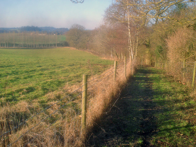
Image: © Trevor Rickard Taken: 1 Jan 2010
Looking west down the path, which is fenced off from the rest of the field. Aubreys Farm in the distance on the left.
Images are licensed for reuse under creativecommons.org/licenses/by-sa/2.0
Image Location
Latitude
52.002481
Longitude
-2.348977