Carey Road, Wareham
Introduction
The photograph on this page of Carey Road, Wareham by Derek Harper as part of the Geograph project.
The Geograph project started in 2005 with the aim of publishing, organising and preserving representative images for every square kilometre of Great Britain, Ireland and the Isle of Man.

There are currently over 7.5m images from over 14,400 individuals and you can help contribute to the project by visiting https://www.geograph.org.uk
Carey Road, Wareham
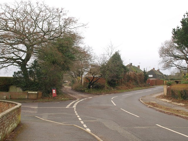
Image: © Derek Harper Taken: 21 Jan 2010
The road bends to the right at this junction with Wessex Oval and a track to Ferncroft Farm. Immediately to the left of the camera is the start of footpath SE2/5.
Images are licensed for reuse under creativecommons.org/licenses/by-sa/2.0
Image Location
Latitude
50.692485
Longitude
-2.121701