Martello Estate
Introduction
The photograph on this page of Martello Estate by Simon Carey as part of the Geograph project.
The Geograph project started in 2005 with the aim of publishing, organising and preserving representative images for every square kilometre of Great Britain, Ireland and the Isle of Man.

There are currently over 7.5m images from over 14,400 individuals and you can help contribute to the project by visiting https://www.geograph.org.uk
Martello Estate
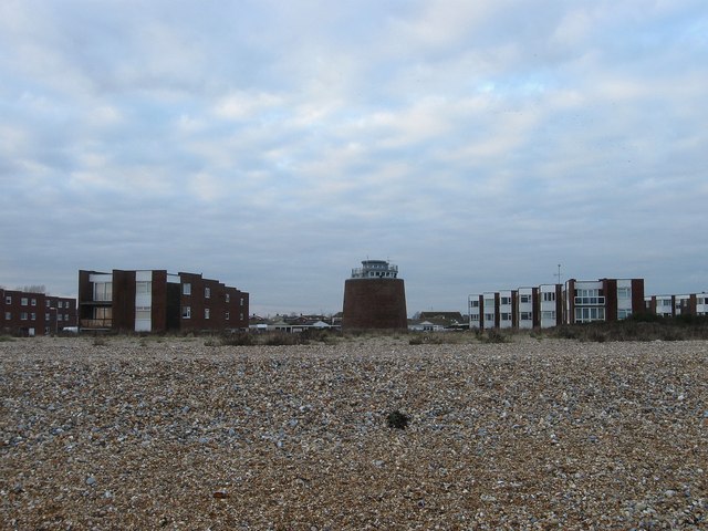
Image: © Simon Carey Taken: 24 Jan 2010
The name of the blocks of flats built in the late 1960s either side of tower number 61. Those to the right are Cadogan Court and those on the left Raglan Court.
Images are licensed for reuse under creativecommons.org/licenses/by-sa/2.0
Image Location
Latitude
50.806939
Longitude
0.344552