Monmouthshire pastoral scene
Introduction
The photograph on this page of Monmouthshire pastoral scene by Jonathan Billinger as part of the Geograph project.
The Geograph project started in 2005 with the aim of publishing, organising and preserving representative images for every square kilometre of Great Britain, Ireland and the Isle of Man.

There are currently over 7.5m images from over 14,400 individuals and you can help contribute to the project by visiting https://www.geograph.org.uk
Monmouthshire pastoral scene
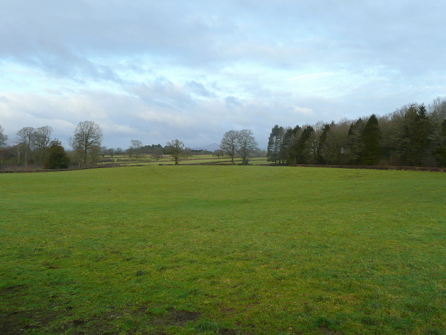
Image: © Jonathan Billinger Taken: 28 Jan 2010
Looking north-west near Bryngwyn, Coed Robert to the right. Sugarloaf, Y Fal, can just be seen in the centre distance.
Images are licensed for reuse under creativecommons.org/licenses/by-sa/2.0
Image Location
Latitude
51.782598
Longitude
-2.876823