Railway in Dorchester
Introduction
The photograph on this page of Railway in Dorchester by Nigel Mykura as part of the Geograph project.
The Geograph project started in 2005 with the aim of publishing, organising and preserving representative images for every square kilometre of Great Britain, Ireland and the Isle of Man.

There are currently over 7.5m images from over 14,400 individuals and you can help contribute to the project by visiting https://www.geograph.org.uk
Railway in Dorchester
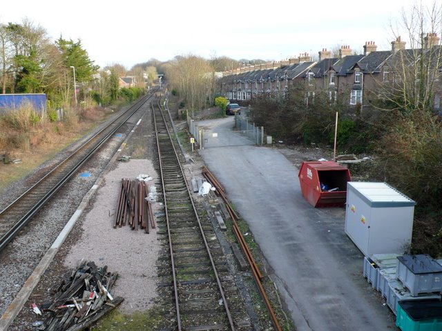
Image: © Nigel Mykura Taken: 28 Jan 2010
View east along the tracksfrom the road bridge where Culliford Rd crosses the tracks. The terraced houses on the right are in Monmouth Rd and the road on the left is Prince of Wales Rd
Images are licensed for reuse under creativecommons.org/licenses/by-sa/2.0
Image Location
Latitude
50.709286
Longitude
-2.431054