Ross Orange Hall
Introduction
The photograph on this page of Ross Orange Hall by Kenneth Allen as part of the Geograph project.
The Geograph project started in 2005 with the aim of publishing, organising and preserving representative images for every square kilometre of Great Britain, Ireland and the Isle of Man.

There are currently over 7.5m images from over 14,400 individuals and you can help contribute to the project by visiting https://www.geograph.org.uk
Ross Orange Hall
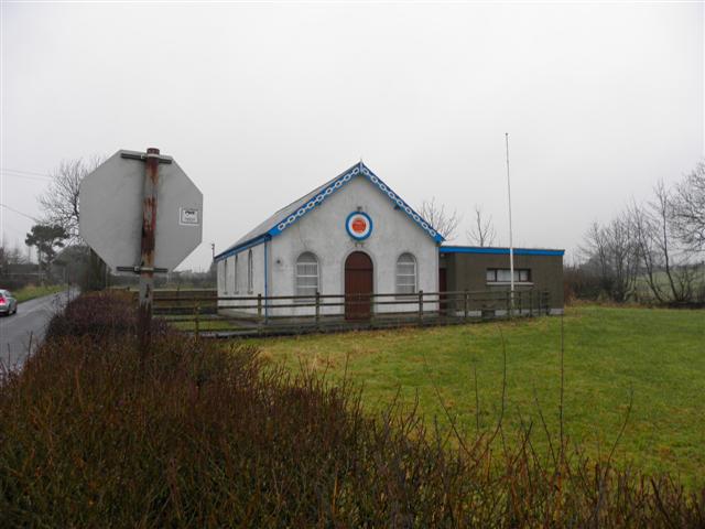
Image: © Kenneth Allen Taken: 27 Jan 2010
It is located at the junction of the Byrestown Road and the Kilgad Road, where Orange Lodge LOL 515 & Black Lodge 240 meet. Both are led by Moorefields Flute Band formed 1947.
Images are licensed for reuse under creativecommons.org/licenses/by-sa/2.0
Image Location
Latitude
54.823209
Longitude
-6.188972